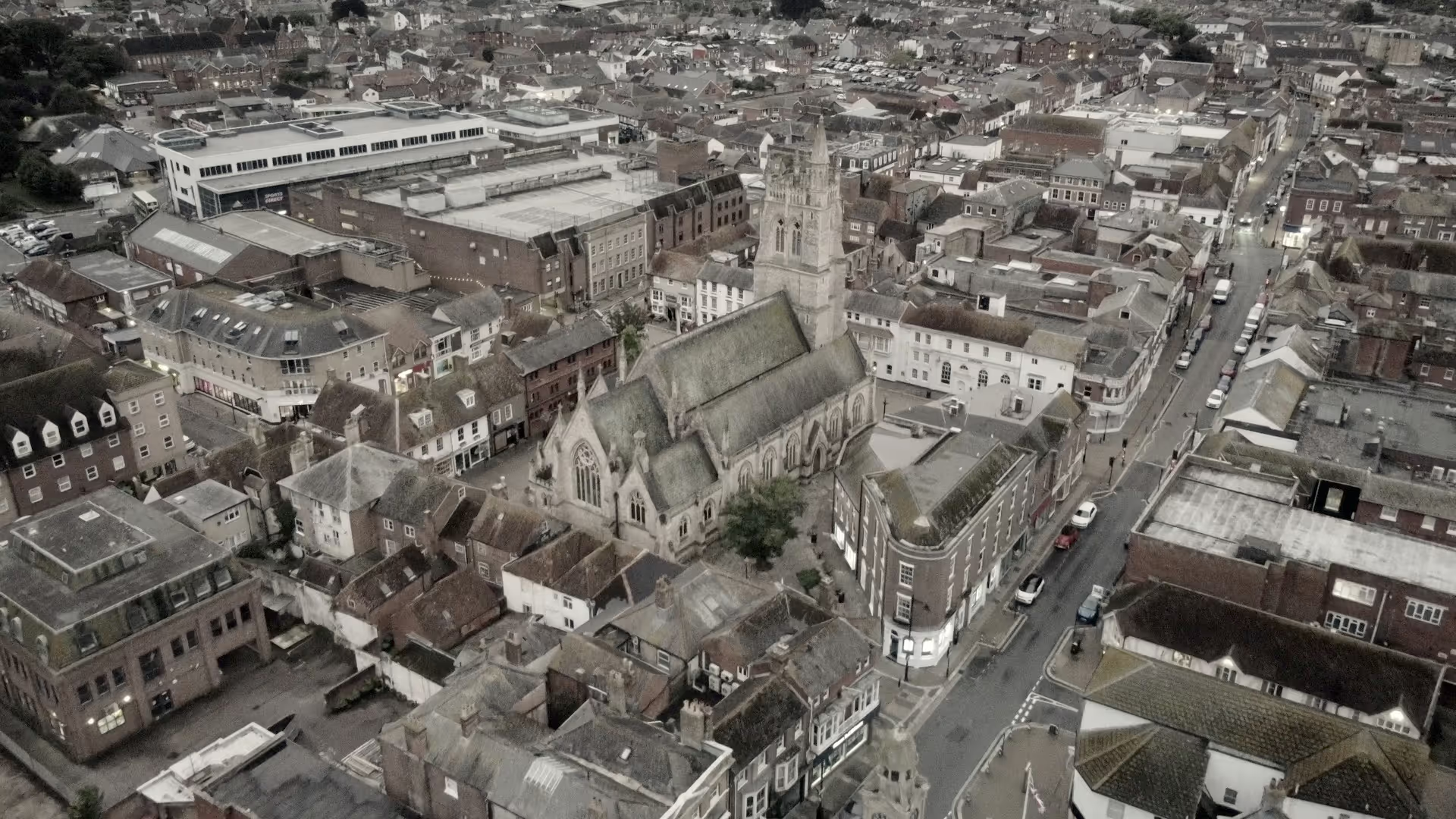
Notwithstanding this, and despite the impact of mostly 20thCentury suburban development to its west - which has seen it merge with Gunville, it retains the character of a village with a distinct and separate identity from Newport.
Its heart is centred on the historic High Street with its long rise from Lukely Brook up to Nodgham Lane in the west. Characterised principally by low rise houses and quite an eclectic mix of materials – render,r ed, yellow and to a lesser degree grey brick and stone walls under slate and clay tile roofs. The street despite the impact of traffic has an agreeable and engaging character. Its topography and layout – in particular its rise and slightly sinuous alignment provide for interesting framed views up and down the street. Its architectural variety and diverse roofscape add further visual interest and help to draw the eye in both directions. Small historic terraces at Kensington Place and 76-86 High Street are particularly cosy and well preserved.
The 16th century tower (the tallest on the Island), on the ancient church of St Mary (mentioned in Doomsday) serves as a visual focal point close at the junction with Priory and Clatterford Roads. One of the Island's most historically varied and attractive churches it is only fully (and best) appreciated on foot, but is partially glimpsed to varying degrees from surrounding roads. Its elevated position and scale making it especially prominent. Perhaps the best views including the church are obtained from the end of Priory Road where it is appreciated in the same panorama as the Castle which 'floats' in the background over the rooftops.
Percy Stone author of the seminal Victoria County History for the Isle of Wight noted that: “few fortresses in England crown their sites so completely and effectively as the Royal Castle at Carisbrooke”. Separated from the village by a steep valley, the castle - which is probably the most historically important building in the County - dominates the eastern setting of the village.
As residents will know, perhaps the best and most accessible landscape views of the castle can be obtained from its 'rear' at Priory Car Park on Whitcombe Road. Other striking and attractive vantage points capturing the site can also be obtained at certain points looking east along Clatterford Road.
In addition to its relationship with the Castle, the village also has a strong relationship with water. Not only as the site of a waterworks serving Newport, but also through its two surviving ponds and related (now defunct) flour mills which exploited the industrial potential of the Lukely Brook well into the 20th Century.
More distinctive and perhaps unique for the island, are the large water meadows present to the south of the village, and the high number of fords found around its periphery at Spring Lane, Castle Street, Clatterford and Froglands. These attractive features contribute strongly to the feel and characterof the village and again are well worth exploring on foot.